official sources16 countries175,052 zonesfree in beta
9:41
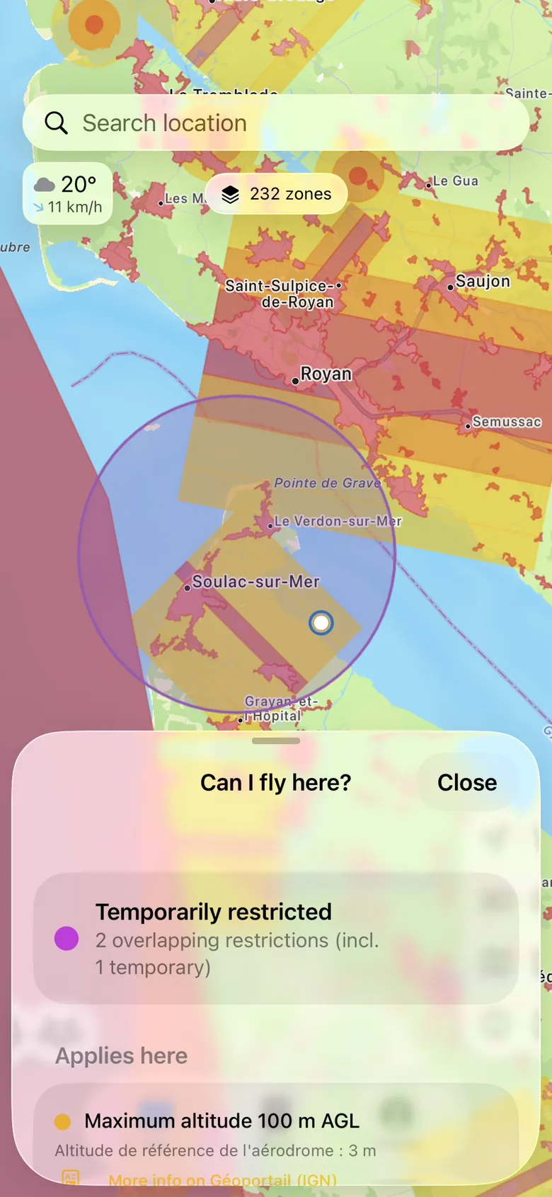
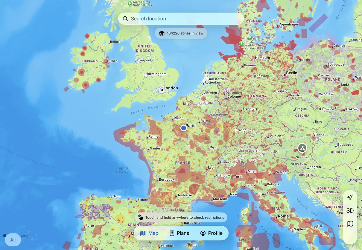
The Drone App on iPhone: the map around Royan, 232 zones in view, a spot held and its answer — Temporarily restricted, two overlapping restrictions.
Official.Every restriction keeps its source beside it, so you can check the rule instead of taking our word for it.
Current.Every country carries the date its data was published, shown in the app — so you can see what you are flying on. Poland’s activations are read live.
Clear answer.A consistent result across borders, with the original rule and its conditions still visible.
Official sources16 countries175,052 zonesCheck before take-off
Why this app exists
Official airspace data is hard to use when you’re about to fly.
The rules are published across maps, portals, PDFs and data feeds.
Finding the right one can take longer than your pre-flight check.
At the field, you need a clear answer — and the
source behind it.
01
The rules are spread out
Each authority publishes in its own format, and the same zone name can mean different things across a border.
02
Zones stack and overlap
Ceilings, floors, conditions — whether a zone even applies can depend on your drone and your certificate.
03
And it all moves
Temporary restrictions appear at a few hours’ notice — long after you picked the spot.
A clearer way to read a complicated map.
The app turns varied source data into six clear statuses. The
original wording stays one tap away, so you can see what the status means.
Pick one.
One app. Four devices.
9:41
The Drone App on iPhone
iPhoneIn beta · The full app
9:41
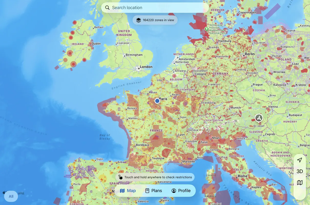
iPadIn beta · The bigger map
MacIn beta · The same app, on the desk
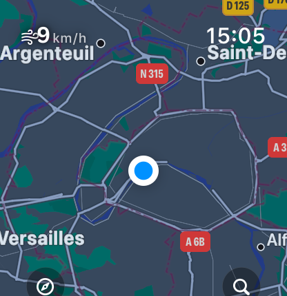
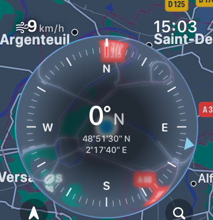
Apple WatchIn beta · On the wrist
What we hold ourselves to
Green is never permission.
An app that tells you where you may fly is only worth having if
you can trust how it got there. We wrote the rules we build under —
and you should hold us to them.
 The Drone App